We're about
Quality and Trust.
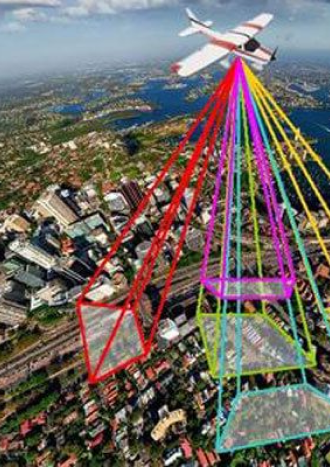
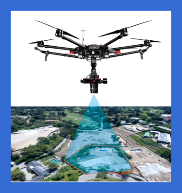
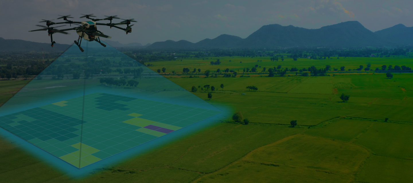
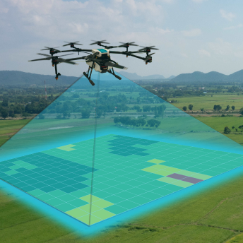
We Provide Best Land Survey & Digital Mapping Services
Giving you accurate measurements and detailed maps for your projects. You can count on us for reliable and professional work.
Best Quality Service
We deliver top-quality service, ensuring everything we do meets the highest standards.
Affordable Pricing
We offer great services at prices that fit your budget, giving you excellent value without breaking the bank.
We have the best equipment for your Needs
Fast Capturing
Experienced Team
50+ Drones
30 +
Client Satisfaction
50 +
Projects Completed
4 +
Years Of Experience
14 +
Professional Team
More About Our Work

Roadways
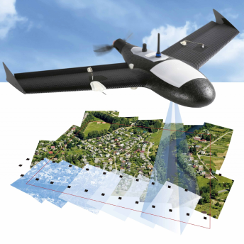
Drone-captured photos significantly speed up and simplify topographic surveys.
Landslide Mapping
Drone data was utilised to create a landslide inventory in steep areas.
Mining
Drones in mining increase the overall efficiency of major mine.

We're about
Quality and Trust.
Intelligent Aerial Solutions
utilize drones, satellites, and AI to provide advanced monitoring, analysis, and data-driven insights across industries.
Latest Blogs